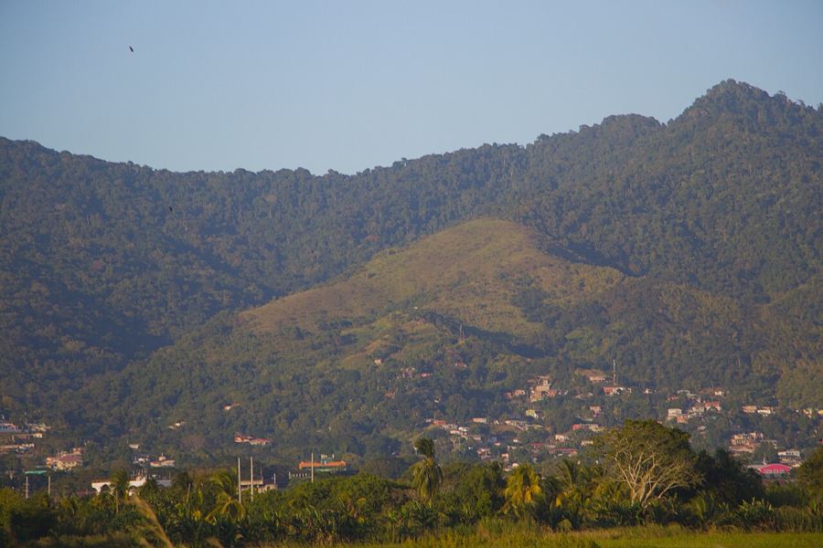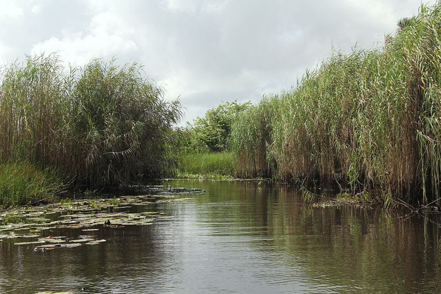
Tobago is known for its beaches, but its spine is a ridge of forested hills running much of the length of the island, and the northeastern end of it is wild, steep and green. Here the Main Ridge Forest Reserve protects a block of rainforest that has been set aside for longer than almost any other in the Americas, and the road beyond it drops to fishing villages that feel far from the resorts of the southwest. A couple of unhurried days here are some of the best on either island.
An old protected forest
The Main Ridge Forest Reserve was designated in 1776, when the colonial government set it aside to protect the rainfall that fed the island's farms and streams. It is widely regarded as the oldest legally protected forest reserve in the Western Hemisphere. The reasoning, unusual for its time, was that cutting the forest would dry out the land, and the reserve has protected watersheds ever since.
The forest covers the ridge's upper slopes in tall rainforest, thick with palms, tree ferns, lianas and epiphytes. A hurricane in 1963 caused serious damage, and the canopy has been recovering since. In recent years the whole of northeast Tobago, land and sea, has also been recognised internationally as a biosphere reserve. The Roxborough to Parlatuvier road crosses the ridge, climbing through forest and giving you a quick way into the reserve without a long walk.
Gilpin Trace and the birds
Gilpin Trace is the best-known trail, starting beside the ridge road near its high point. It follows an old track into the forest, muddy in places and crossed by small streams, and the first section is manageable for most people with good shoes. Further on it becomes rougher and steeper. Local guides often wait at the start; walking with one, in general terms, adds a great deal, as they know the calls and where birds tend to feed.
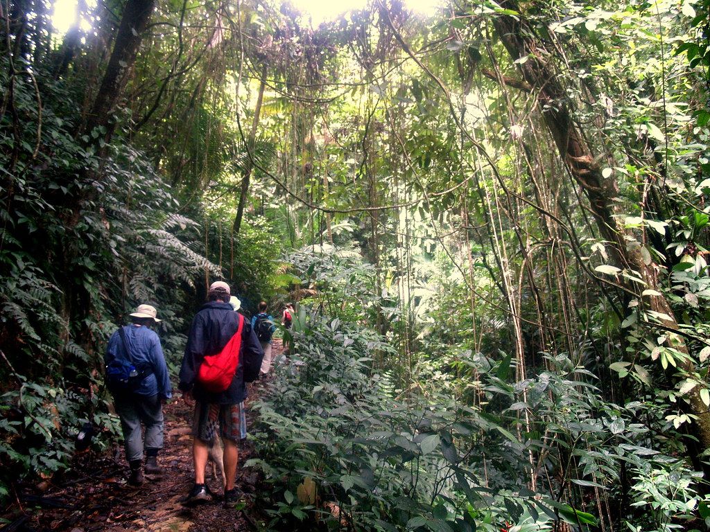
Tobago's forest birds are the reward. Look for blue-backed manakins with their pale blue mantles, collared trogons sitting still on mid-level branches, rufous-tailed jacamars with long bills and glossy green backs, and the white-tailed sabrewing, a large hummingbird that is a special prize here. The Trinidad motmot calls with a soft, double hoot. Mornings are best for bird activity. The trail can be slippery after rain, which falls often on the ridge even in the drier months, so a light rain jacket and a cover for binoculars are worth carrying.
Away from the trail, the ridge road itself is a fine slow drive. Pull into the lay-bys, switch off the engine and listen: the forest is full of sound, from the chatter of parrots and the bubbling song of thrushes to the hum of insects after rain. Cocricos, the noisy, long-tailed bird that is Tobago's national bird, often call in loud choruses from the forest edge in the early morning, and they are far easier to hear than to see. Keep an eye out for agoutis crossing the road at dawn.
Near the high point of the road there is a lookout over Bloody Bay, a long arc of beach on the Caribbean side, with forest running right down to the sand. It is a good place to stop, catch your breath and watch frigatebirds riding the wind.
Argyle Falls
Argyle Falls lies on the windward side, inland from the village of Roxborough. A short walk through forest and old plantation land leads to a series of tiers where the river drops over rock into pools. The lower pool is the usual place for a swim; the upper tiers are reached by a steeper scramble. Entry is managed at the entrance, where local guides are available, and fees change, so check before you go.
The water is cool and clear, and on a weekday morning the falls can be quiet. As at any waterfall, take care on wet rock, keep children close, and do not swim if the river is high or brown after heavy rain upstream; flash floods can arrive quickly. In the dry season the flow can drop, so the falls are fullest from mid-year onward.
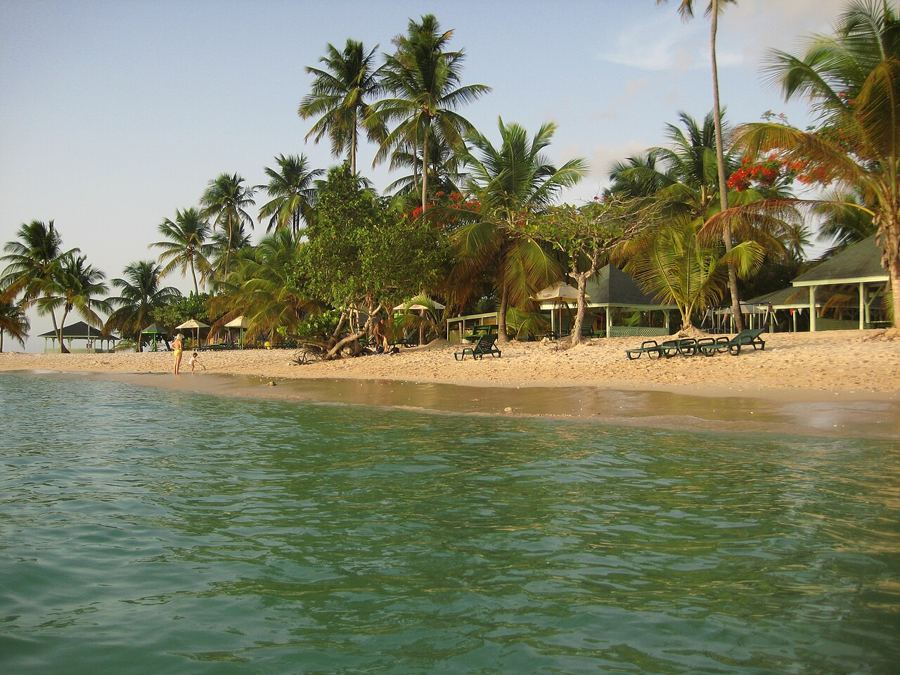 Another lime · TobagoBuccoo Reef, Pigeon Point and the Nylon Pool
Speyside and the offshore islands
The windward road drops into Speyside, a fishing village spread along a curving bay with views to the small islands offshore. The largest is Little Tobago, a bird sanctuary where red-billed tropicbirds nest on the cliffs and seabirds wheel above the scrub. Glass-bottom boats cross from the shore to the island and over the reefs on the way; arrangements and times change, so check before you go. The trail on the island is short but steep and exposed, so carry water and a hat.
The reefs around Speyside are well known among divers for their large brain corals and the chance of seeing manta rays in some seasons. Even a snorkel from the shore on a calm day shows bright fish. Treat the reef gently: do not stand on coral, and choose a reef-friendly sunscreen.
A couple of unhurried days here are some of the best on either island.
Charlotteville and the end of the road
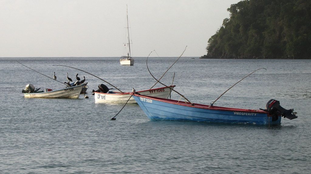
From Speyside the road climbs over the hills to Charlotteville, a fishing village on Man O' War Bay near the island's northeastern tip. It is one of the calmest places on Tobago, with a long, sheltered beach, small boats pulled up on the sand, and fishermen mending nets and selling the morning catch. Pelicans and frigatebirds work the bay, and the water is generally calm for swimming.
Flagstaff Hill, above the village, offers a lookout over the tip of the island and the open sea, and a walk from the village leads to Pirate's Bay, a quiet beach beyond the headland. The road ends here, which gives the place a settled, unhurried feel; there is nowhere further to go, so you might as well sit down.
Getting there and pacing it
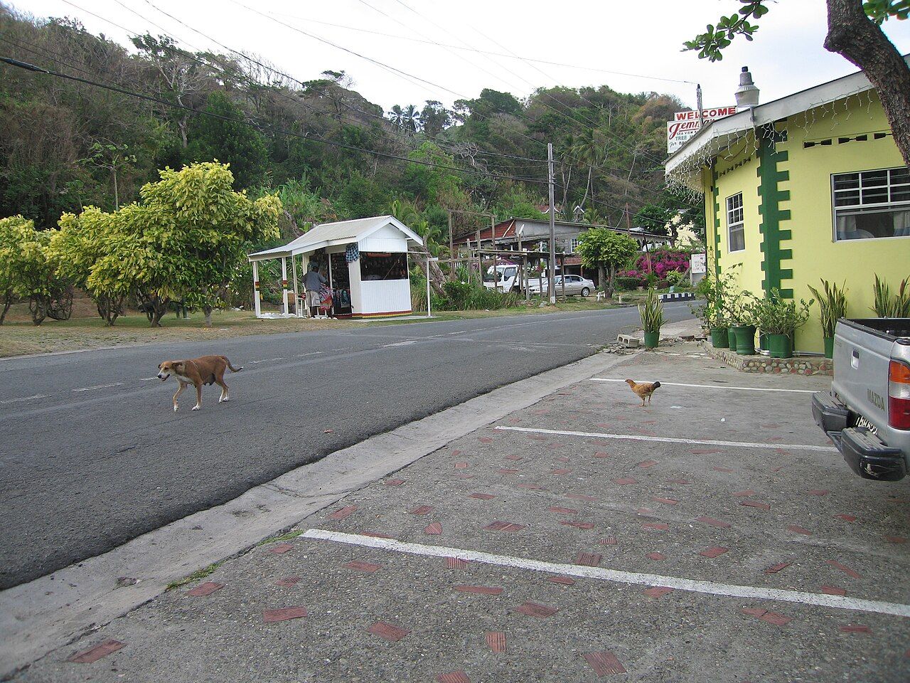
Northeast Tobago is reached by the windward road from Scarborough or by the Caribbean coast road from the west. Both are winding and slow, so allow plenty of time and avoid driving the forest roads after dark. Fuel up before setting out. Public transport runs along the main routes, but a hired car or taxi gives you more freedom to stop at lookouts and trailheads. For arrival in Tobago, see getting around and the inter-island ferry.
A good rhythm is to spend a morning on the ridge, an afternoon at the falls, and a slow day by the water in Speyside or Charlotteville. If you are on Trinidad first, the forested Arima Valley gives a taste of mainland birds that complements Tobago's, and Buccoo Reef and Pigeon Point round off a trip in the island's southwest.