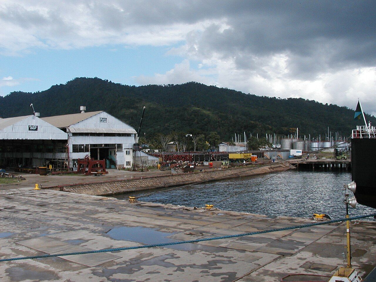
Chaguaramas is the long, forested finger of land at Trinidad's northwest corner, pointing across the water toward Venezuela. It is only a short drive from Port of Spain, yet it feels like a different place: steep green hills, a calm bay full of yachts, small beaches, and a string of islands trailing off into the strait. For people in the capital it is the nearest weekend escape, and on a Sunday the bayside fills with families, music and the smell of food on outdoor grills.
A peninsula shaped by war
For much of the twentieth century Chaguaramas was closed to most Trinidadians. During the Second World War the area was leased to the United States as a naval base, and villages and estates were cleared to make way for it. The return of the land became a political cause in the years before independence, and the peninsula was eventually handed back. Today much of it is managed as a public recreation area, though traces of the base remain in old buildings, jetties and roads.
A military history museum on the peninsula covers that story and the wider part Trinidad and Tobago played in both world wars, with aircraft, vehicles and displays in and around its buildings. Opening days and entry details change, so check before you go. Nearby, boatyards haul out yachts from across the Caribbean, because the island sits south of the main hurricane belt, and the working waterfront is part of the area's character.
The boardwalk and the bay
The boardwalk runs along the shore of Chaguaramas Bay, a level, easy stroll with the water on one side and lawns and trees on the other. Early morning brings walkers and joggers; late afternoon is cooler and softer, when pelicans drop into the bay and the hills turn gold. Benches and shaded spots let you sit as long as you like, and there is usually a breeze off the water.
Swimming along the bay itself is not the main attraction, as it is a working harbour. For a beach, many people drive over the hill into Tucker Valley to Macqueripe Bay, a small cove ringed by forest with calm water in most seasons. A short walk through the trees leads down to it, and it is a pleasant place for a dip on a weekday morning when it is quiet.
Tucker Valley and the walk to Edith Falls
Tucker Valley cuts into the hills behind the bay, a broad, green valley with old plantations, bamboo groves and forest on the slopes. The trail to Edith Falls starts from the valley and climbs gently through the trees for a walk that most reasonably fit people can manage in well under an hour each way. Parts of the path can be muddy and roots cross it in places, so proper shoes help.
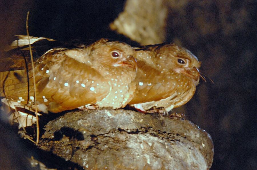
The forest along the way is good for birds. Look and listen for motmots with their racket-shaped tails, oropendolas building hanging nests, and parrots crossing overhead in noisy pairs. Red howler monkeys live in the hills, and you may hear their roar before dawn or after rain. Go early in the day for the best chance of wildlife and the coolest air.
 Another lime · Northern RangeThe Arima Valley and its hummingbird verandah
The fall itself is a tall, narrow drop down a rock face. In the wet season it can be a fine sight; in the dry months from about February to May it often shrinks to a trickle. Like any stream in hills, it can rise quickly after heavy rain upstream, so stay well back from the base after a downpour and turn around if the water looks high or brown.
The Gasparee caves
Gaspar Grande is one of the islands just off the peninsula, and its limestone caves are among the best known in the country. A path and steps lead down into a large chamber hung with stalactites, with a clear tidal pool at the bottom where light filters in from above. Access is by boat from the Chaguaramas side and visits to the caves are guided; arrangements and opening days change, so check before you go.
The steps are steep and can be slippery with damp, so wear shoes with grip and take your time. Bats roost in parts of the cave; keep your voice down and avoid touching the formations, which take thousands of years to grow and are easily stained by skin oils.
Down the islands and the Bocas
Beyond Gaspar Grande lie the larger islands of Monos, Huevos and Chacachacare, separated by the channels known as the Bocas del Dragón, the Dragon's Mouths, which link the Gulf of Paria to the Caribbean Sea. The currents through the Bocas are strong, which is why sailors have always treated them with respect. Trinidadians talk about going "down the islands" for weekends at the holiday houses scattered along the shores.
Chacachacare, the farthest, once held a leprosarium and a lighthouse and is now largely empty, with old buildings slowly taken back by forest. Getting there means arranging a boat from the peninsula; check sea conditions and arrangements before you go, wear a life jacket, and carry water and sun protection, as there is little shade and nothing to buy.
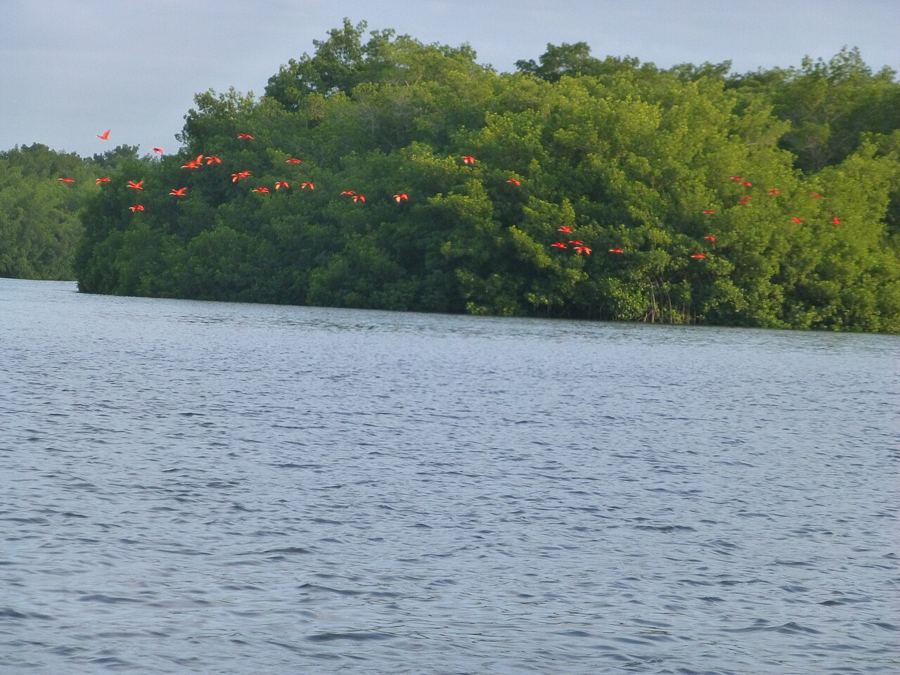
From the hills on clear days you can see the mountains of Venezuela's Paria Peninsula across the water, a reminder of how close the mainland is. If the forest walks have given you a taste for birds, the Caroni Swamp south of the capital and the Arima Valley in the Northern Range are natural next steps.
Practical notes
Most people drive or take a taxi from Port of Spain along the Western Main Road, which can be slow on weekend afternoons when the city empties toward the coast. Public transport runs along the main road but thins out beyond it. Weekdays are calmer for walking and swimming; weekends are livelier and better for a lime by the water. Bring insect repellent for the forest, and keep valuables out of sight in parked cars, as you would at any popular day-trip spot. For more on moving around without a car, see getting around Trinidad.